FMT-303:4
30 × 40 CM
12 × 16 IN
Desk scale. Reads as a document.
Unframed
$337.79€293.81
Framed$358.49€308.81
On-demand access to orbit
Name the target. A camera in orbit is tasked to photograph it on its next clear pass, and the frame comes back to you as a print.
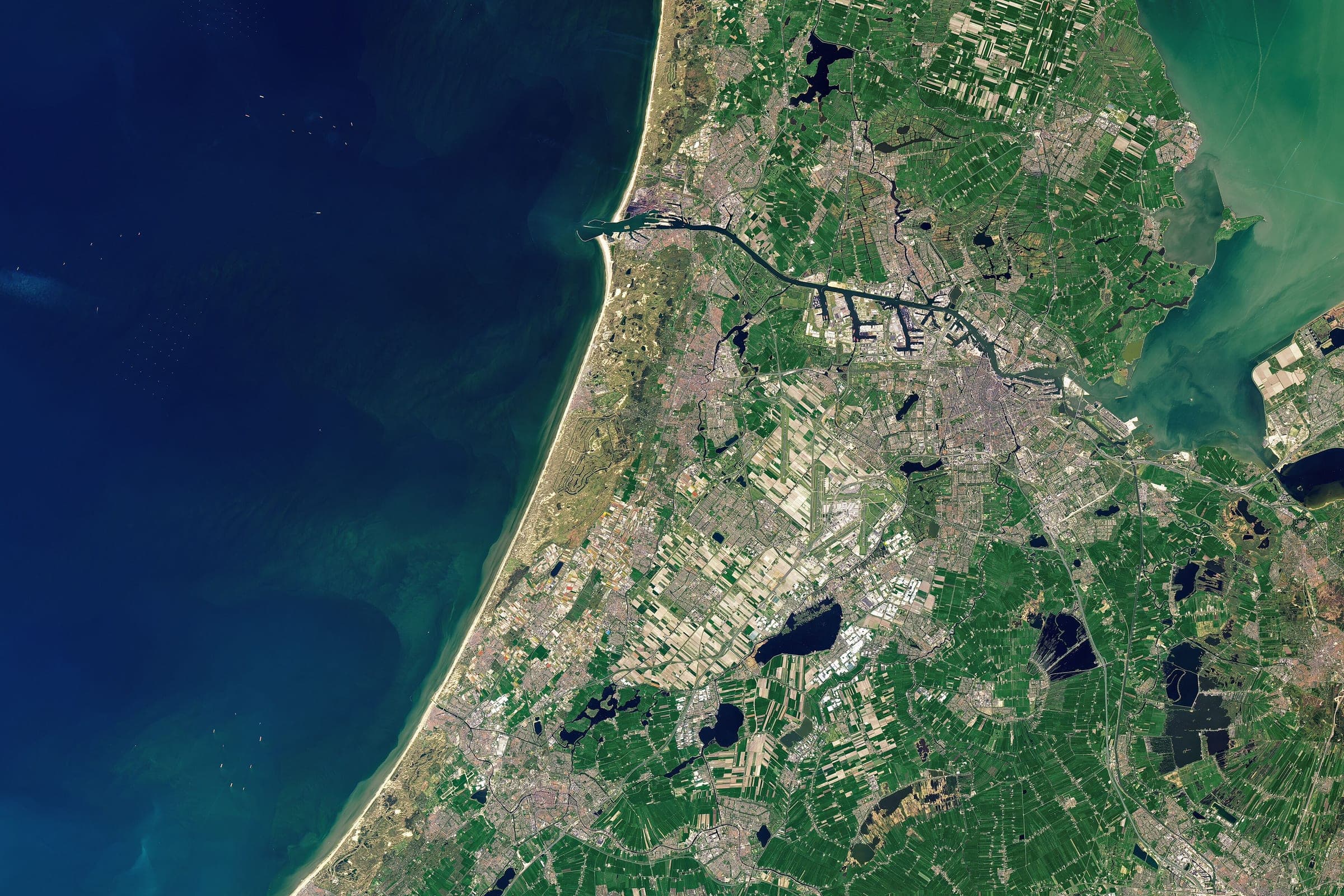

Coverage
You are not buying a photograph off a shelf. You are buying one pass of a working imaging satellite, aimed at a place you name, and everything the pass returns.
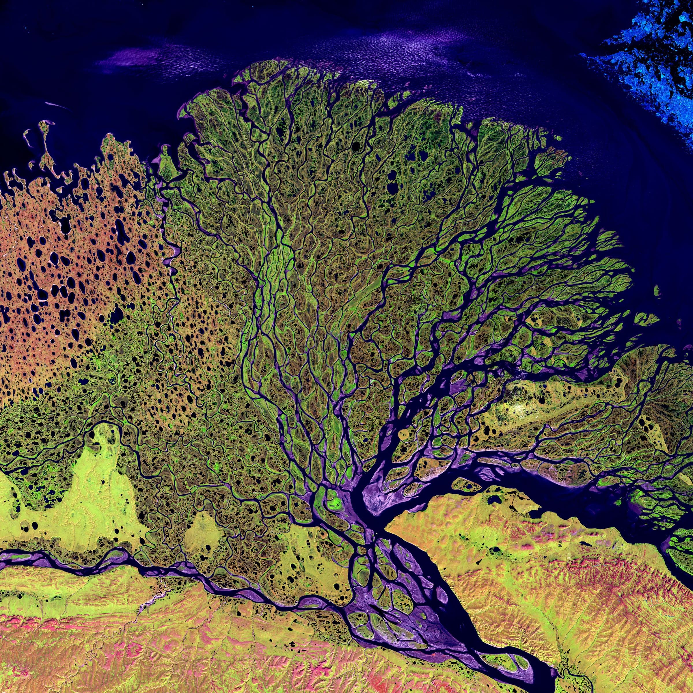
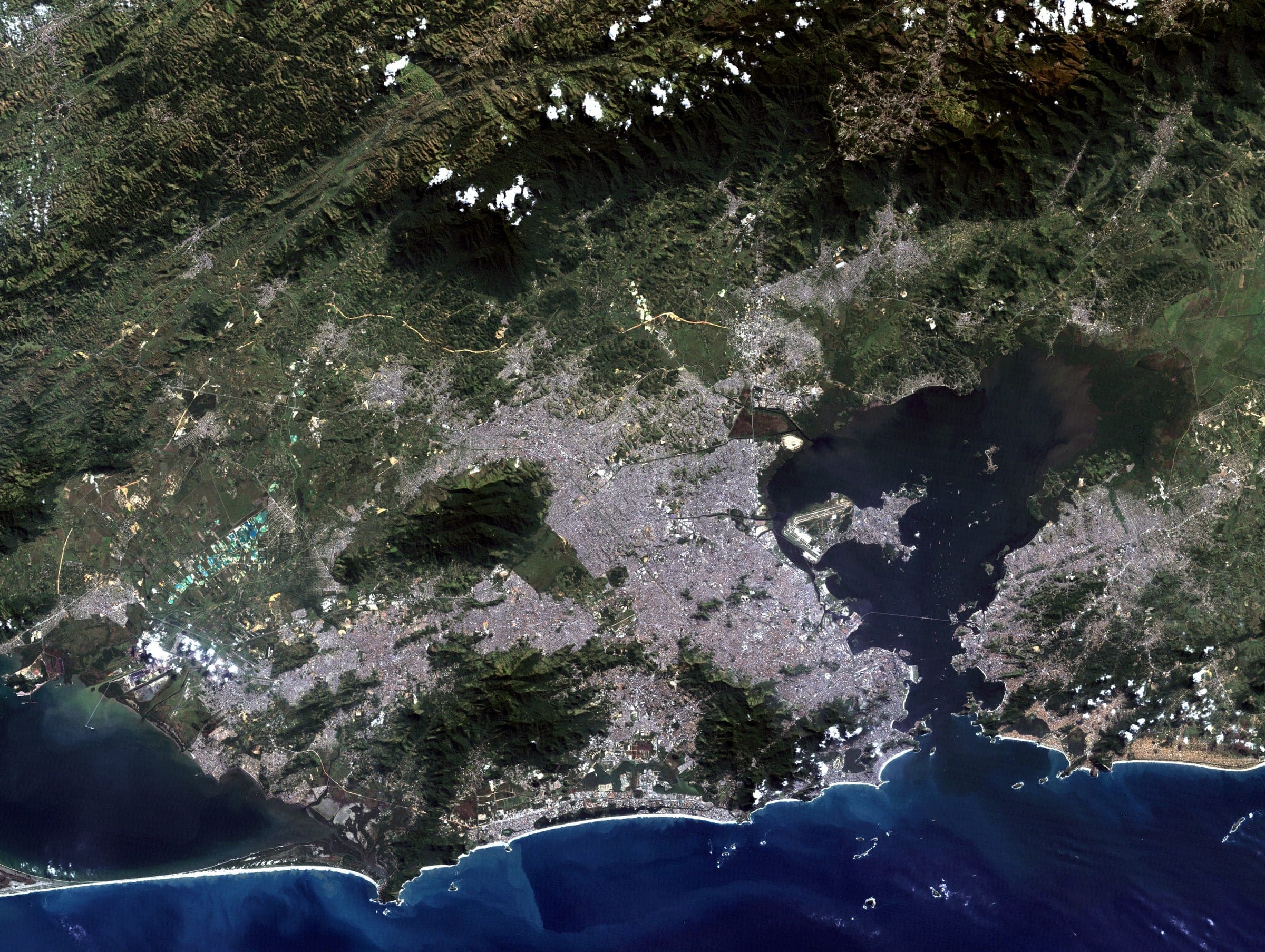
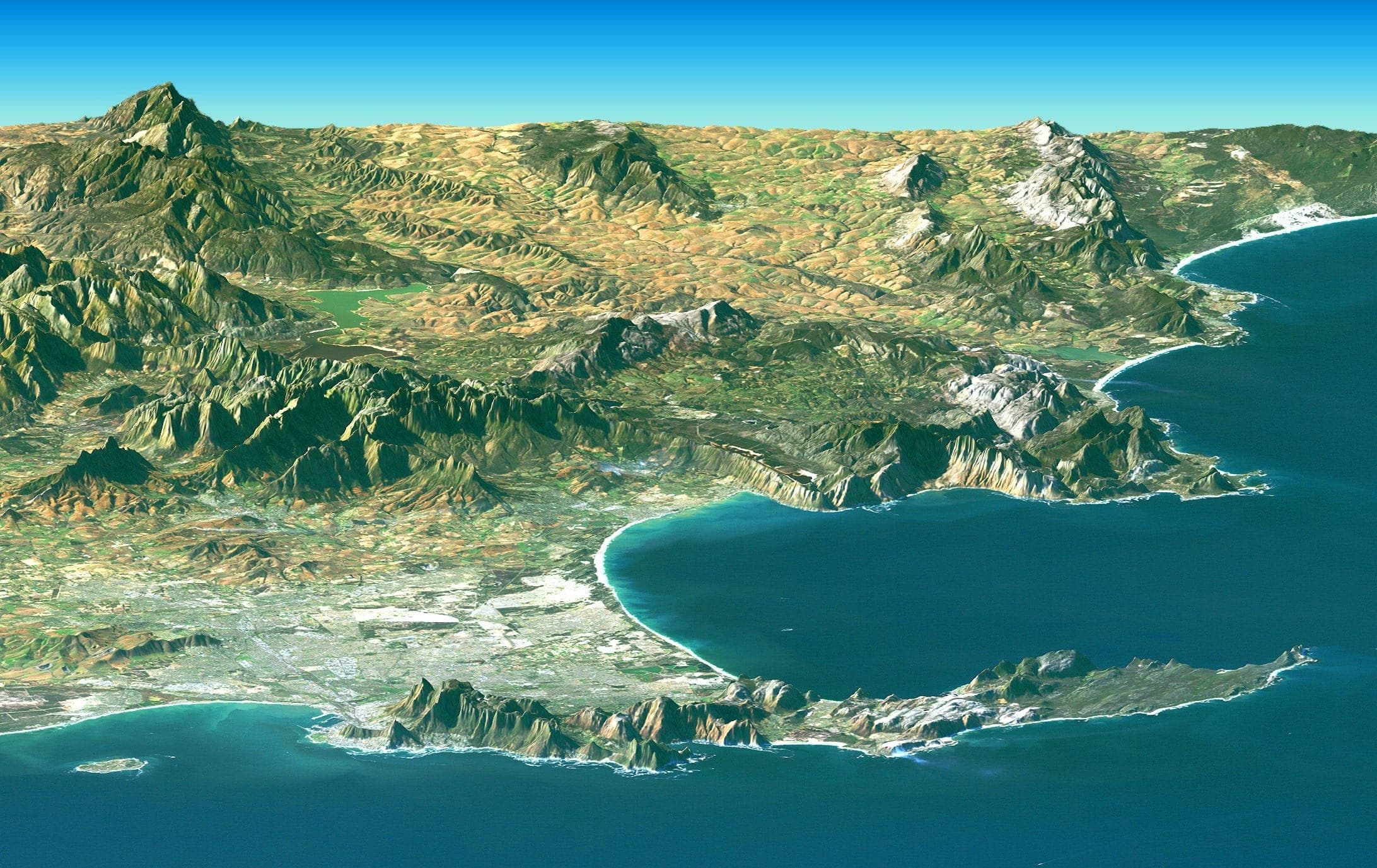
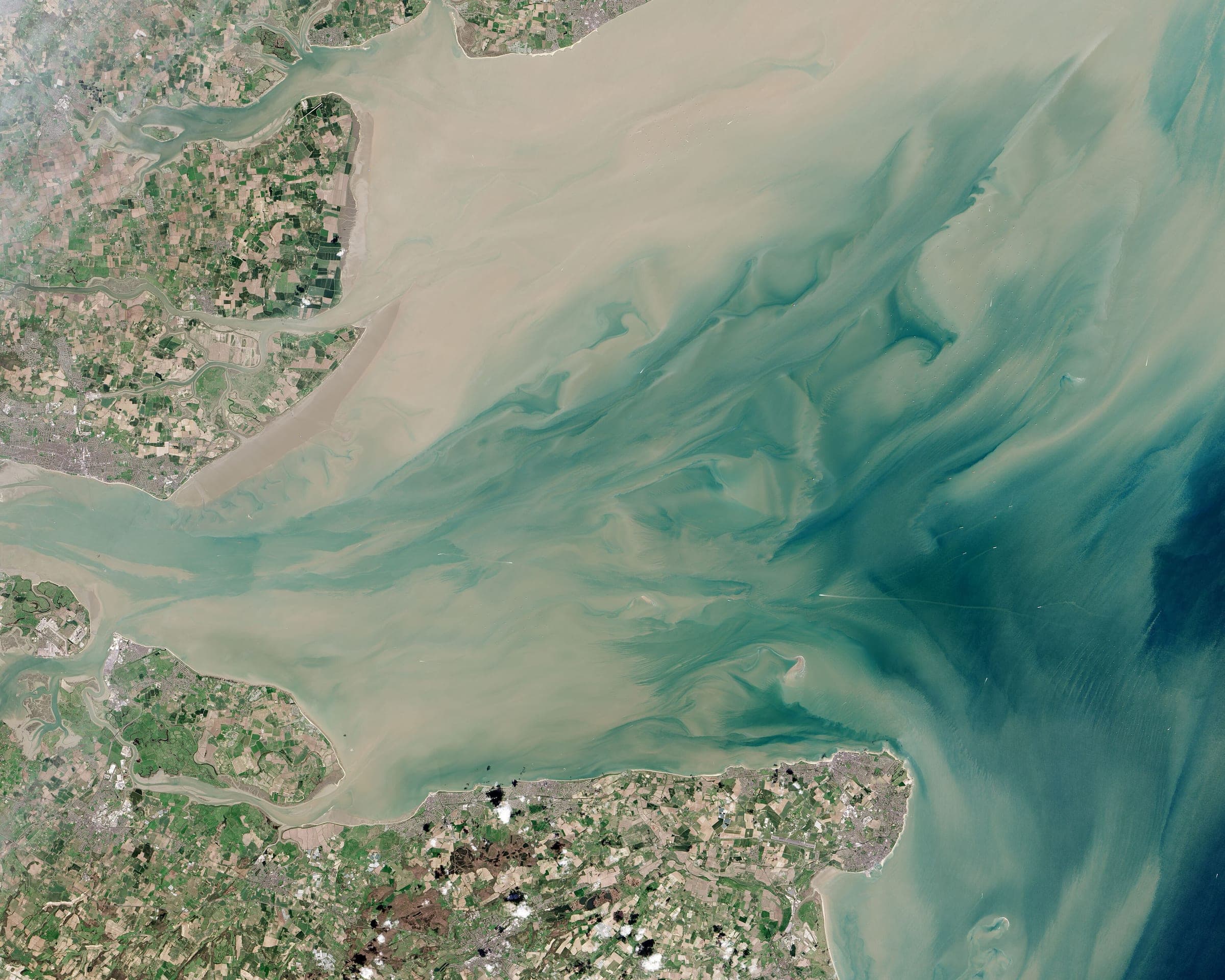
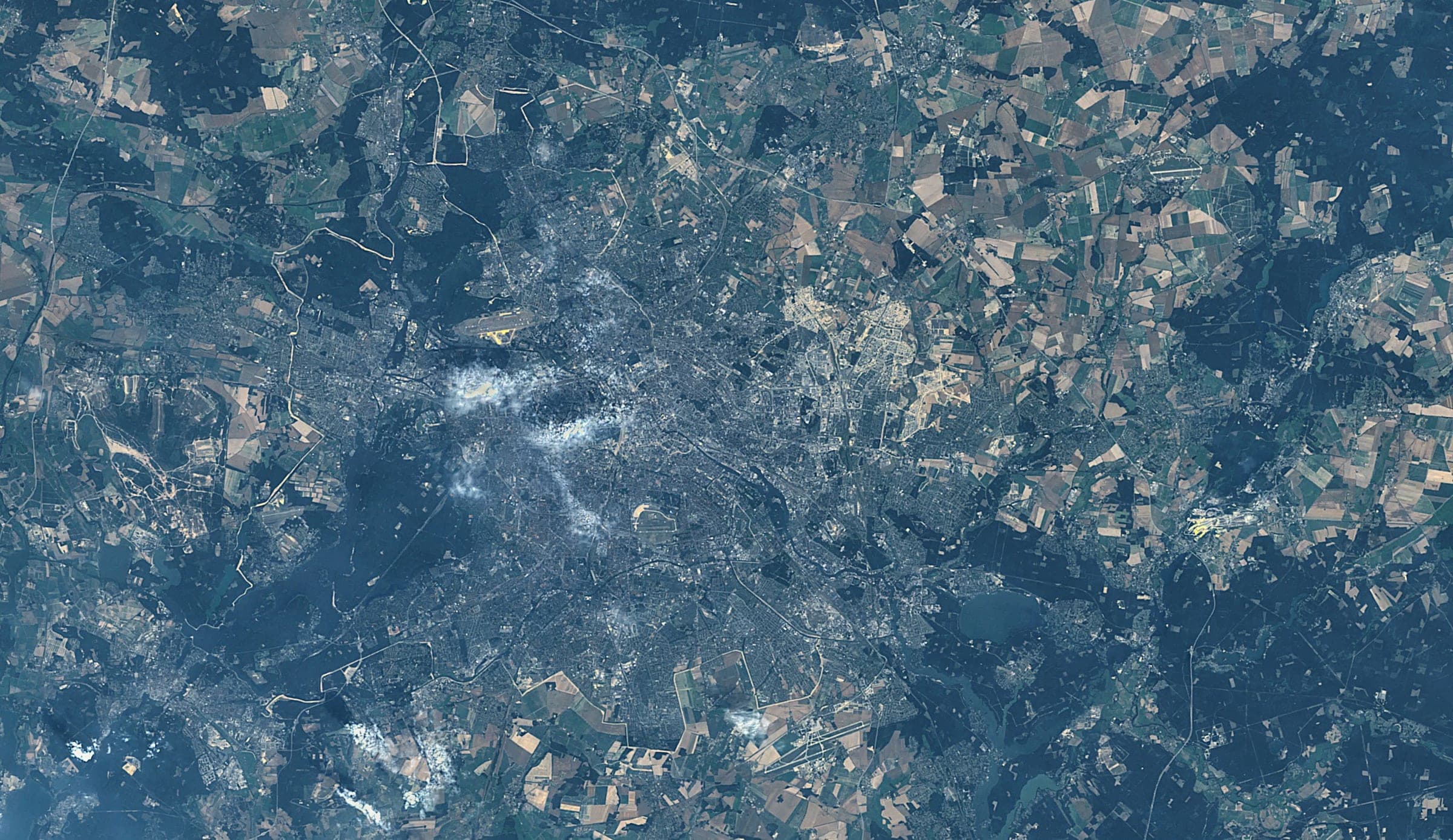
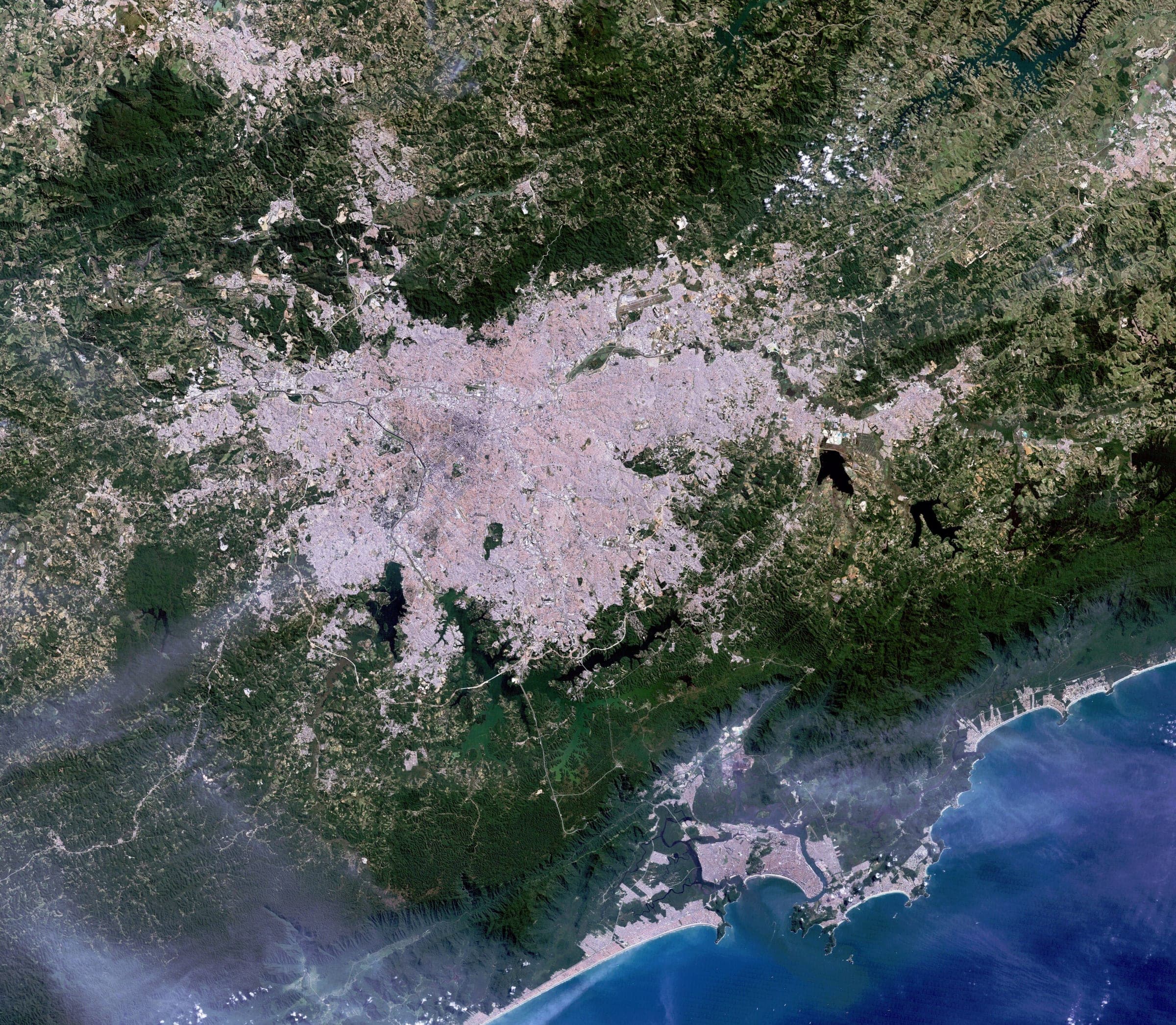
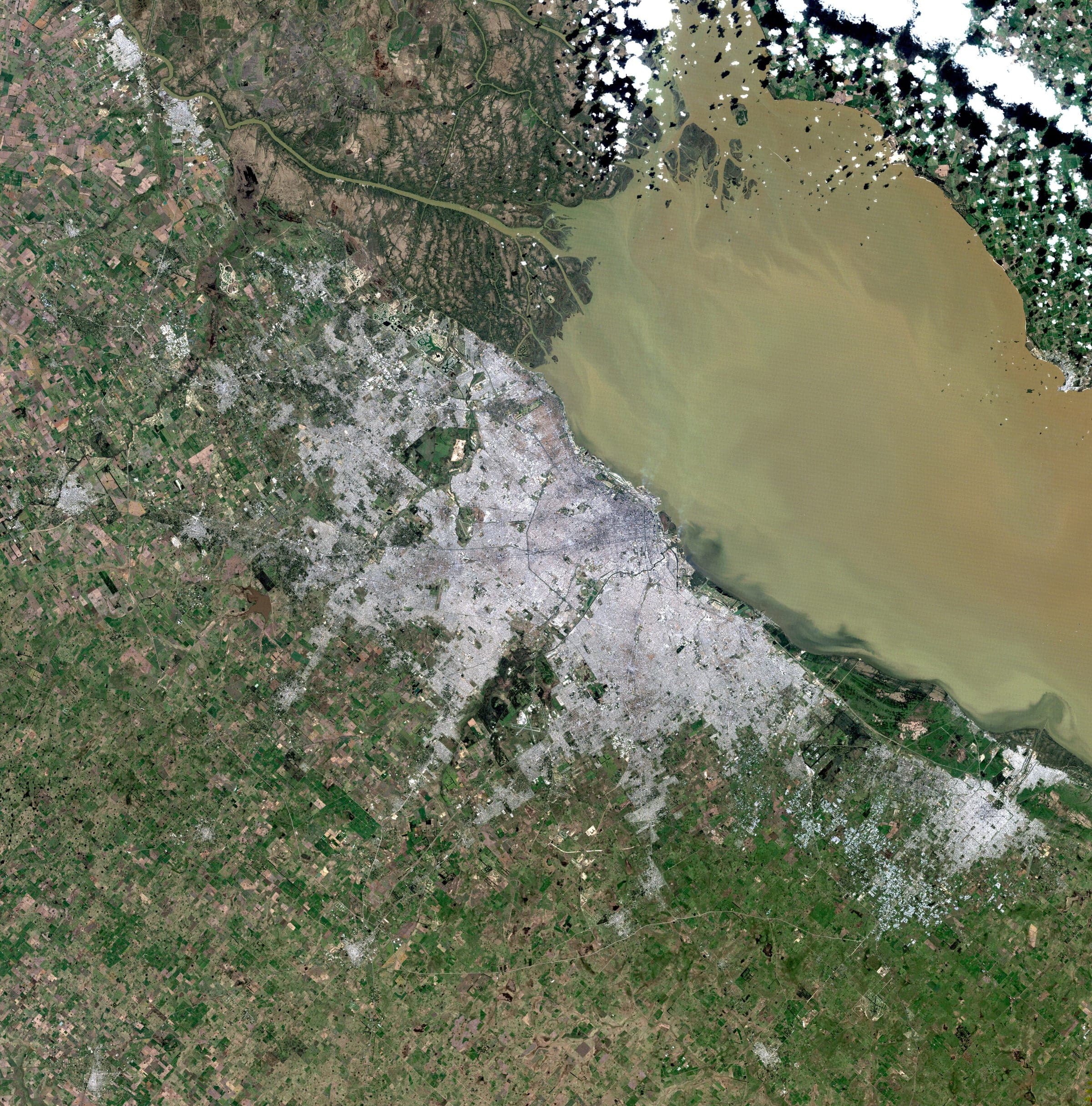
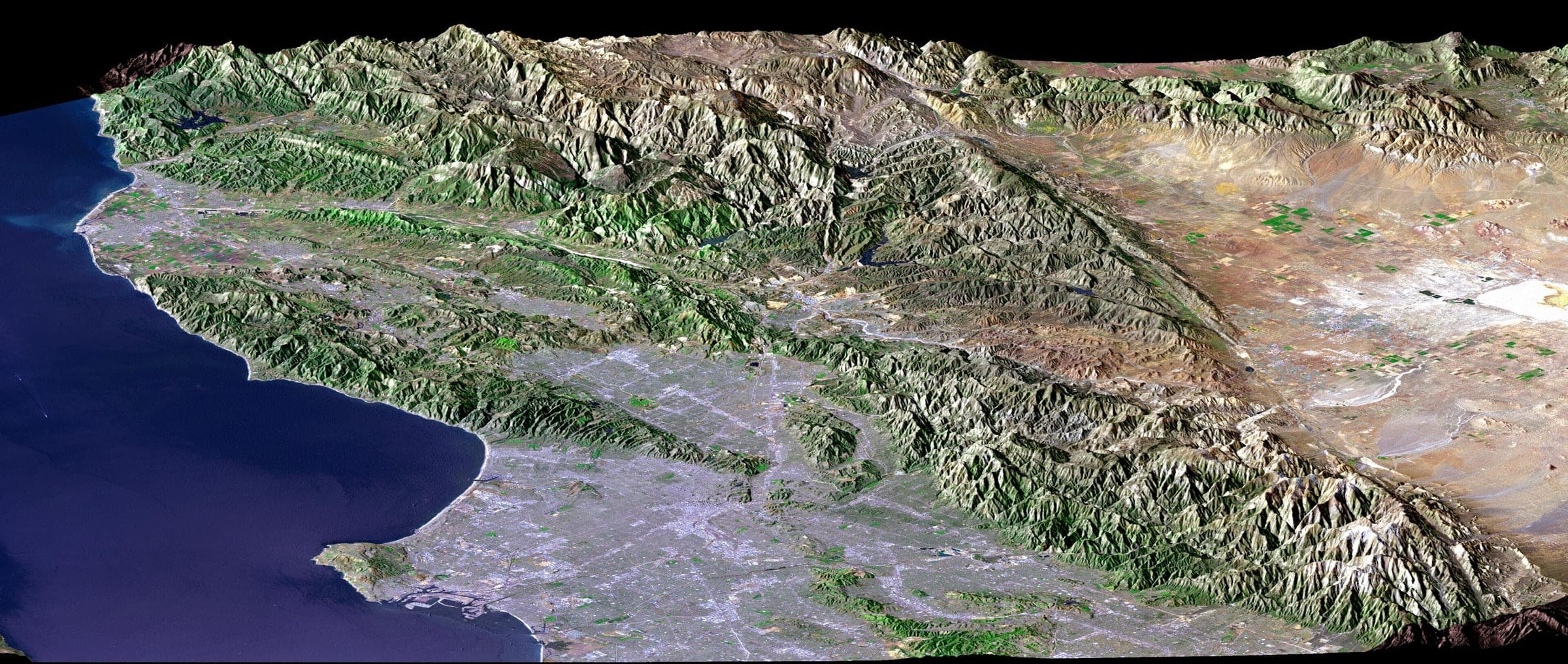
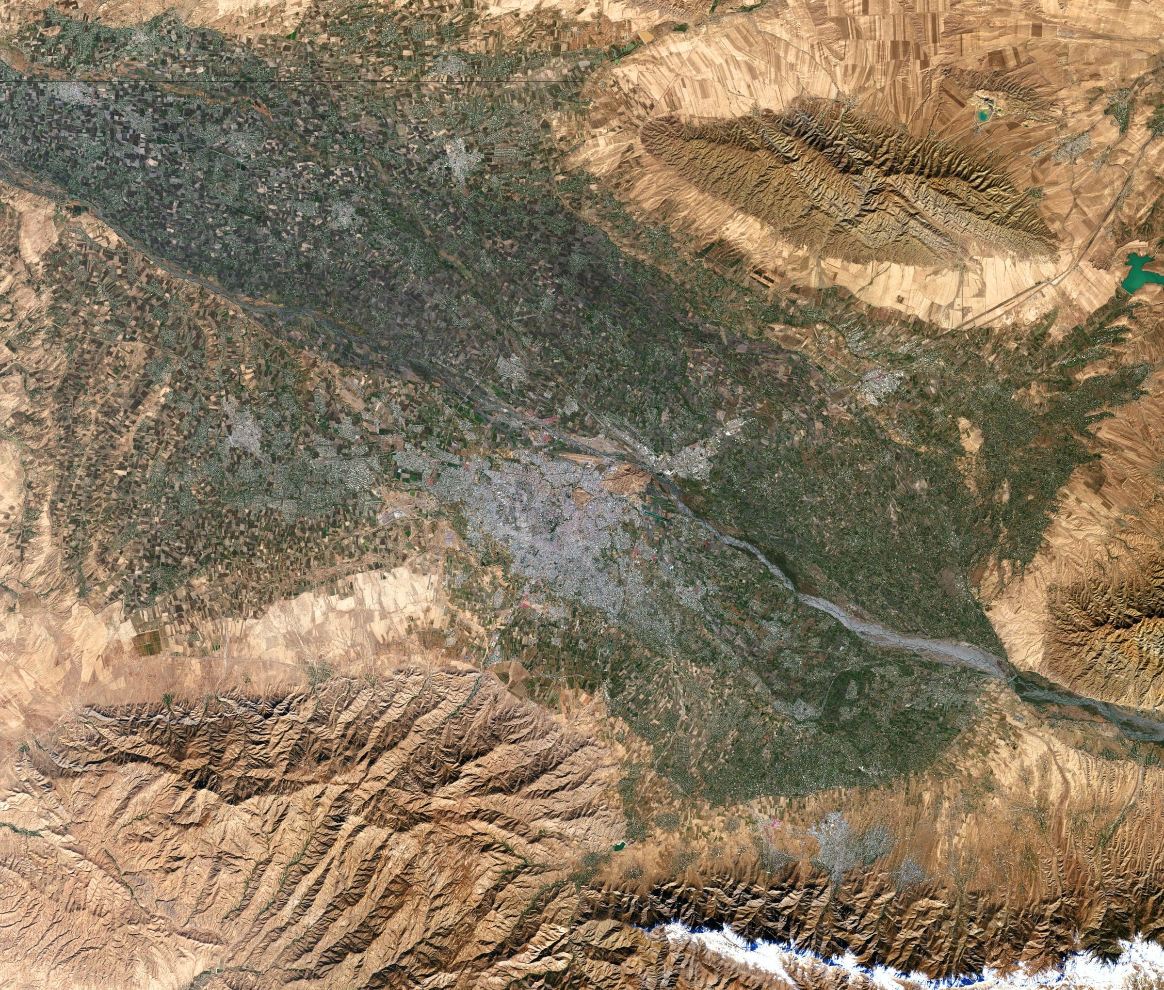
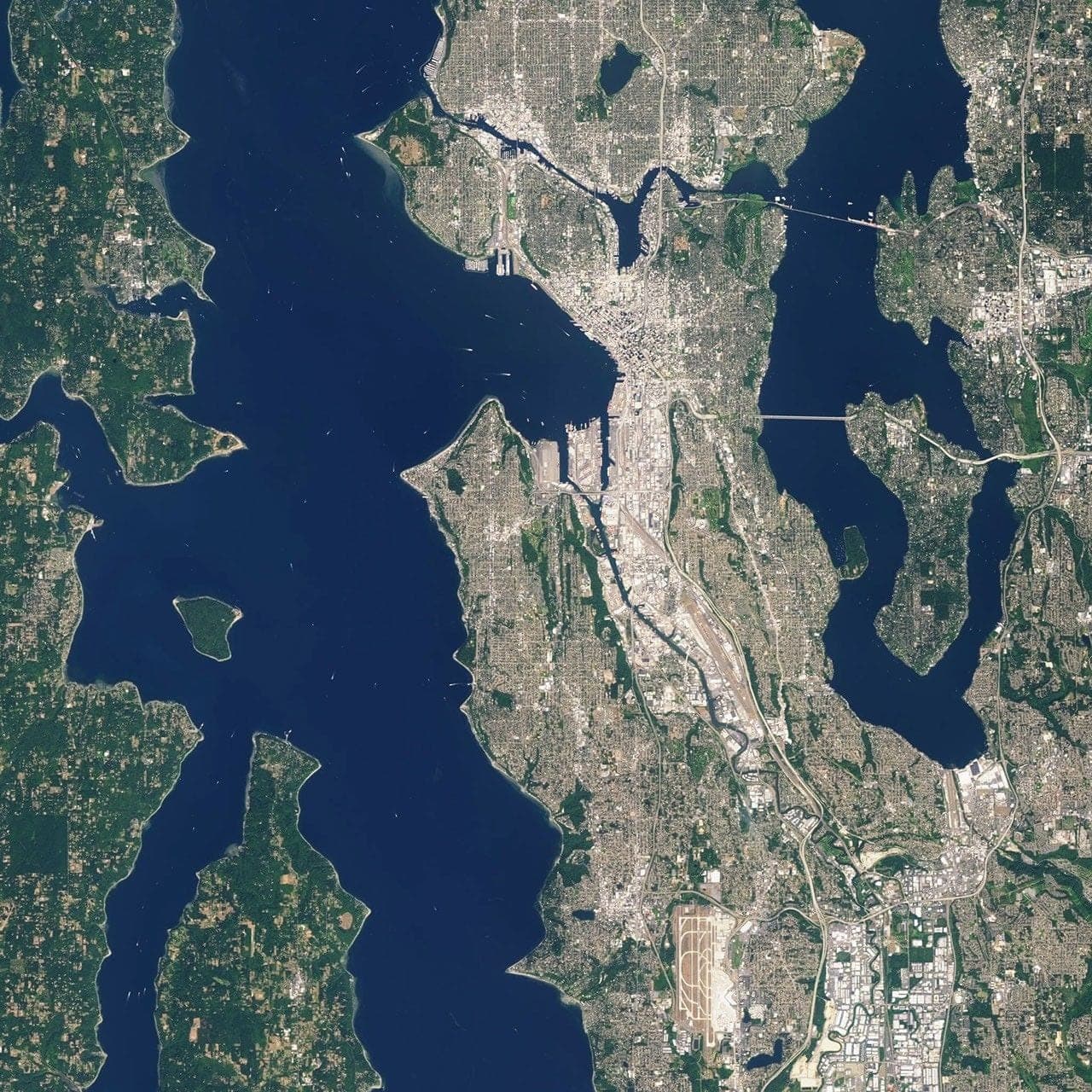
Frames from the public Landsat archive, filed the way a commissioned mission is filed. Open any one to read it.
An address resolves to a coordinate pair at four decimal places, and a capture area of about one square kilometre is drawn around it — the building, its street, and the ground it sits in.
The request is filed against a sun-synchronous orbit, which crosses your latitude at the same solar hour on every pass and returns to a specific target every one to three days.
One pass, one exposure, about half a metre to a pixel. Cloud over ten percent of the target fails the frame, and the next pass is booked at our cost rather than yours.
In flight
The instrument that carries the frame, the pass it is tasked on, and the number your order is flown under.
Mission clock
Everything a mission does is logged against that instant, before it happens and after. Four moments matter, and you watch all four land in the file as they happen.
Overhead now
Live orbital elements, propagated in your browser. Hover one to draw a full revolution of its track at its true altitude. These are not the satellites assigned to your mission — tasking is brokered at capture time and the spacecraft is very often none of these. They are simply what is up there, and where.
Propagated 03:32:06 UTC
Fleet index
No spacecraft selected
Hover a marker on the globe, or a name in the index, to draw one revolution of that satellite’s ground track at its true altitude and open its live record. Click to keep it open.
Markers sit at 1 + altitude/6371 Earth radii. Low orbit really is this close to the ground: the tick under each marker is the whole altitude, at the same scale as the globe beside it.
Orbital elements published by Orbital elements, fetched once and held for three hours. Positions are SGP4 propagations of those elements computed in your browser, not telemetry. The oldest element set drawn was fitted 23.4 h ago, and accuracy degrades as that age grows. Coastline: Natural Earth, public domain.
The fleet
A card each, drawn from live orbital elements propagated in your browser. These are not the satellites assigned to your mission — tasking is brokered at capture time and the spacecraft is very often none of these. They are what is up there, and where.
Sub-point27.78° S · 100.41° E
Sub-point58.16° N · 88.36° W
Sub-point6.83° S · 87.85° W
Sub-point48.10° N · 85.21° W
Sub-point30.27° N · 1.91° E
Sub-point57.38° N · 113.04° E
Sub-point21.88° S · 72.06° W
Sub-point3.68° S · 103.38° W
Orbital elements published by Orbital elements, fetched directly and refreshed every three hours. Positions are SGP4 propagations of those elements, computed in your browser, not telemetry: no one is downlinking to this page. The oldest element set shown was fitted 23.4 h ago, and accuracy degrades as that age grows.
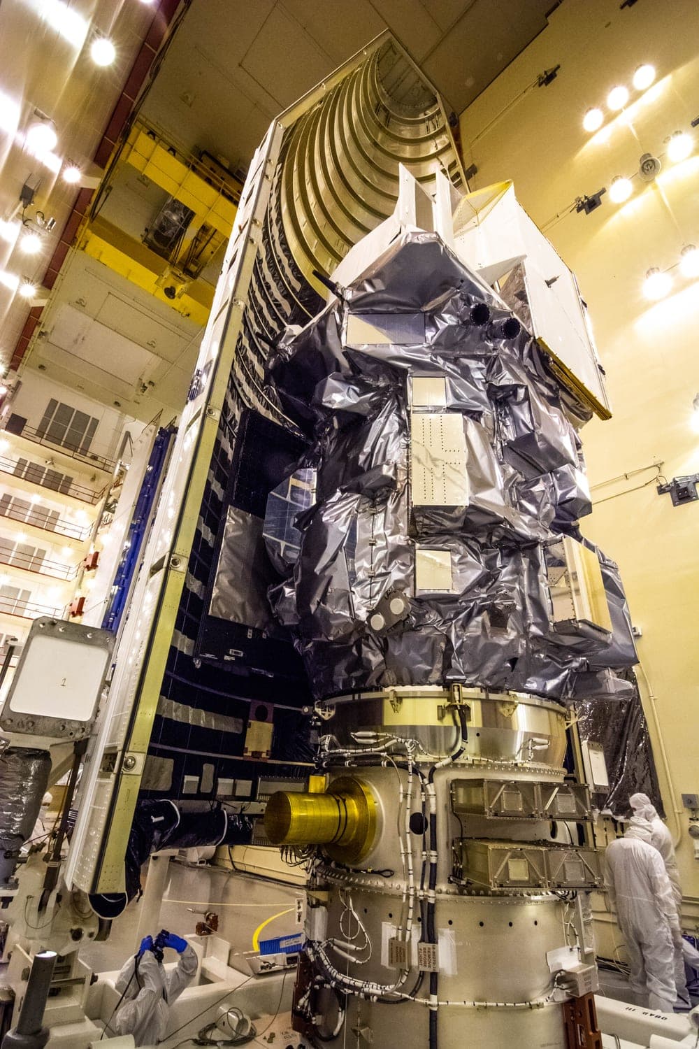
One of the eight, photographed
Landsat 9, inside the Integrated Processing Facility at Vandenberg Space Force Base on 16 August 2021, being moved into position for encapsulation — the last hours it was ever visible.
It is the only one of these eight spacecraft we can put a photograph of on this page. NASA releases its own photography into the public domain, and Landsat is also the archive every example frame on this site is printed from. The other seven are photographed by Maxar, Airbus, ISRO, Planet and ESA, all of whom reserve the rights to those pictures, so their cards carry the live orbit instead — which is ours, which is true, and which moves. It is not the satellite assigned to any mission: none of these are.
The result
Mission 32BF is a worked example, open before anyone has paid for one. Its frame is below and its whole record is the band under that. Nothing here is quoted and no one is named — there is only the file, exactly as it prints.
The purpose of mission 32BF was to acquire a single frame of the target and return it to Earth. The spacecraft crossed the target on a descending pass in daylight. Acquisition was nominal. One frame was collected. No further passes were required.
Anomalies: None
All times elapsed from range zero, established as the second of frame exposure.
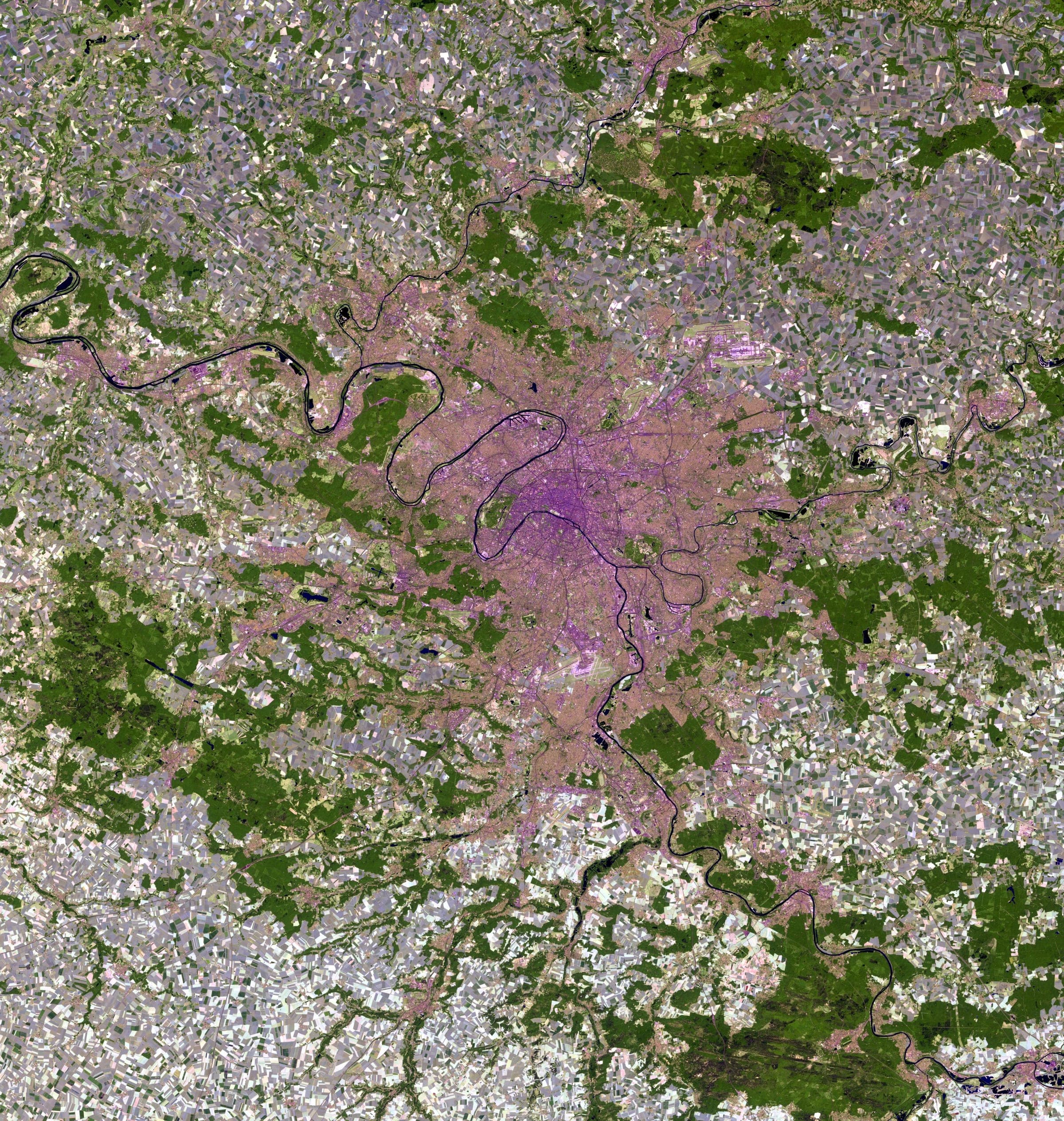
The purpose of mission 74KL was to acquire a single frame of the target address and return it to Earth. Acquisition was nominal. One frame was collected.
What arrives
The photograph is printed with its own telemetry set beneath it, the way a flight document is printed: the frame on top, the record underneath. Unframed, it ships flat in a rigid sleeve; framed, it ships assembled behind its glazing, ready to hang. The print is the only object in the box.
Five honorary distinctions — a plate, a patch, a badge, a coin and a pin — are conferred on the mission and held on its file. They are digital: nothing beyond the print is manufactured or posted. The file does not expire when the print ships.
Start a missionBefore you ask
The honest answer about resolution is a capture at the resolution you get, and two lists: what it holds, and what it never will.
Tasking is filed within a day of payment. A specific target comes back around every one to three days, and the capture window normally closes inside seven to fourteen. Printing and delivery add a few days once the frame is approved.
Every attempt is logged in your file, including the ones that fail. Cloud above ten percent over the target fails the frame and the next pass is re-tasked at no cost. Northern winters take longer; none of that is charged to you.
Nevada for the United States and most of the world, the Netherlands for the EU, the UK and Switzerland. Short transit, and no customs bill waiting at the door.
The mission file and the public archive show a city, never a street address. The record says where the frame was taken, not who asked for it.
Mission archive
Reference missions, open to read in full. Each one carries the frame, the instrument that took it, the orbit it was taken from and the date it was exposed.
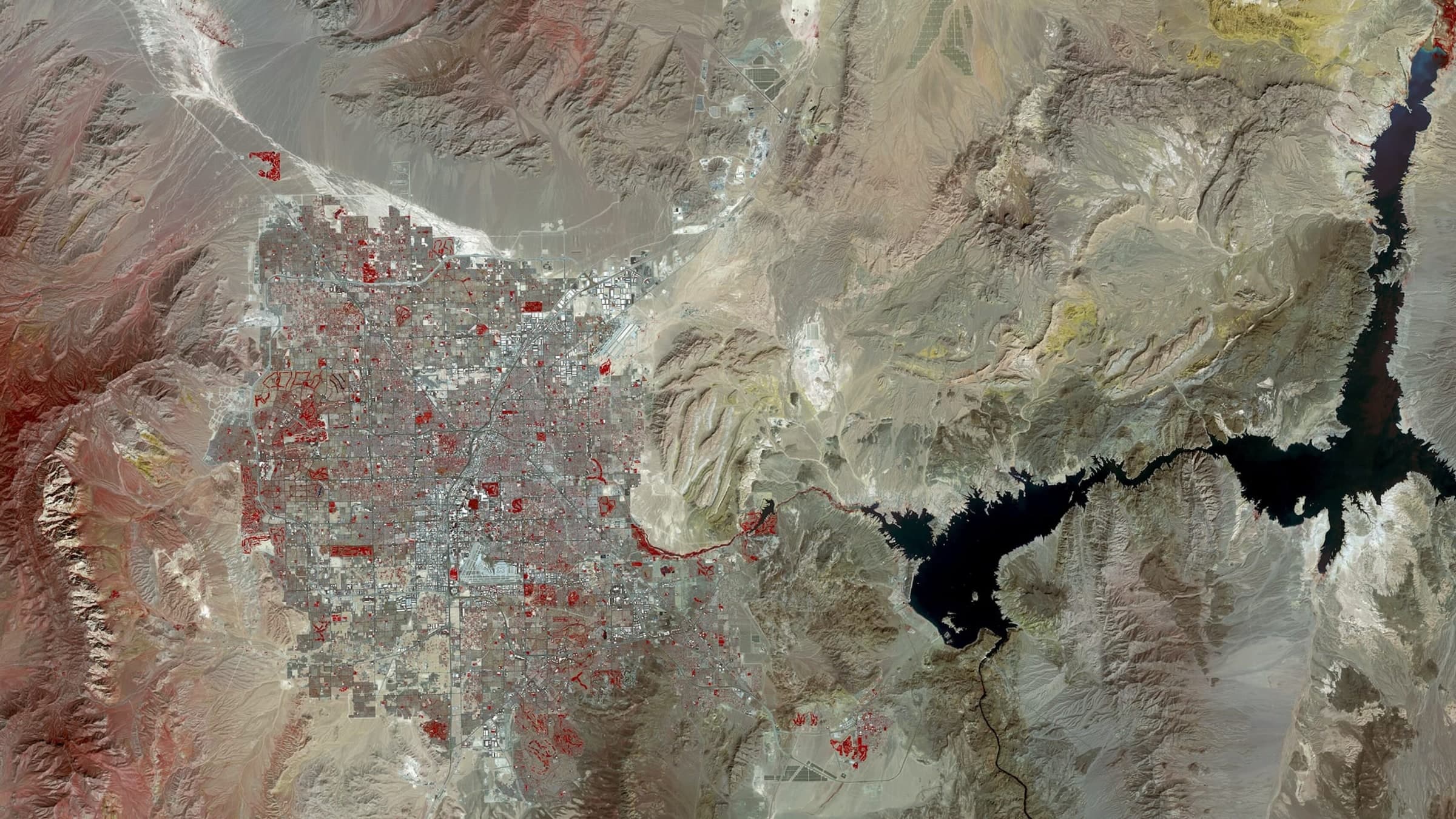
Las Vegas spread across the floor of the Mojave, the valley ending in a hard line where irrigated development meets bare desert. The Strip runs as a straight bright axis through the middle of the basin, and Lake Mead sits off the eastern edge of the built area.
Open mission 31ANMission archive/31AN
Nevada/United States
2023·LANDSAT · 30 m per pixel
Founder’s note
Sabin Dima
Founder, Shot from Space
Written by the founder about his own product. It is not a customer review, and there are none on this page.
I built this pipeline. Before putting it on sale I ran the whole of it end to end myself — target entry, tasking, the capture window, composition, the print file, the mission file you get afterwards — and watched where it broke and fixed it.
What I can tell you honestly is what I have tested and what I have not. The software works: an address becomes a coordinate pair, a coordinate pair becomes a tasking order, and the order becomes a file you can follow. What I cannot tell you yet is what it is like to open the tube, because no customer mission has flown. We are at the start.
So I am not going to describe a photograph I have not received, and you will not find a review on this page, because there is nobody to quote yet. Everything shown here is labelled for what it is: the example frames are public-domain Landsat, and the example mission is a demonstration file.
The part that is not provisional is the terms. I wrote the five guarantees below to be the ones I would want if I were the first person to order: if no usable frame comes back inside 60 days you are refunded in full, a pass lost to cloud is re-flown at our cost, and nothing is tasked until you have seen the capture area and authorised the mission.
I am the person selling this, so weigh my word accordingly. The guarantees underneath are the part you can hold us to, and they are the reason it is safe to be early.
Formats
Three different objects, drawn below at the size they are relative to each other. Pick the one that fits the wall; the number under it is the whole number.
12 × 16 IN
Desk scale. Reads as a document.
Unframed
$337.79€293.81
Framed$358.49€308.81
20 × 28 IN
Standard issue. Street grid stays legible.
Unframed
$343.74€296.34
Framed$394.53€329
28 × 40 IN
Wall scale. Individual rooftops resolve.
Unframed
$347.72€300.52
Framed$434.50€360.49
Shipping and duties are included in the price shown
Which currency you are charged follows the country of the target address, so both are printed on every format and the second one is the smaller figure.
Yes. The number on the format is the number charged. There is no second invoice waiting at the door. Tasking, the print, the frame if you choose one, shipping and any import duty are inside it. Payment is taken when you authorise the mission, before tasking, because pointing the satellite commits a real cost at that moment.
One you own, occupy or have a genuine connection to, or any location that is not a private residence. Somebody else’s home is not a target we accept. Some territories are closed to the operator entirely; if yours is one, the mission is declined and refunded before anything is tasked.
You are buying the printed object. The frame is yours to view in Mission Control and licensed to you for personal use, including displaying and reproducing the print. Commercial use needs written permission.
Cancelling is free until the satellite is tasked, which in practice means a few hours. After that the frame is captured and the sheet is printed for one address, so a change of mind is not a return — damage and misprints are still replaced.
Guarantees
So every way it can go wrong is answered before you pay, and all five answers are in the contract rather than on a poster.
Read the termsYou name the target first and pay last. Nothing is tasked, and nothing is charged, until you have seen the capture area resolve on the map and approved it.
The next clear pass over your roof is one to three days out. Everything from the tasking order to the ground receipt is logged in your name, and the frame it returns is posted to you.
SHOT.SPACE/M32BF